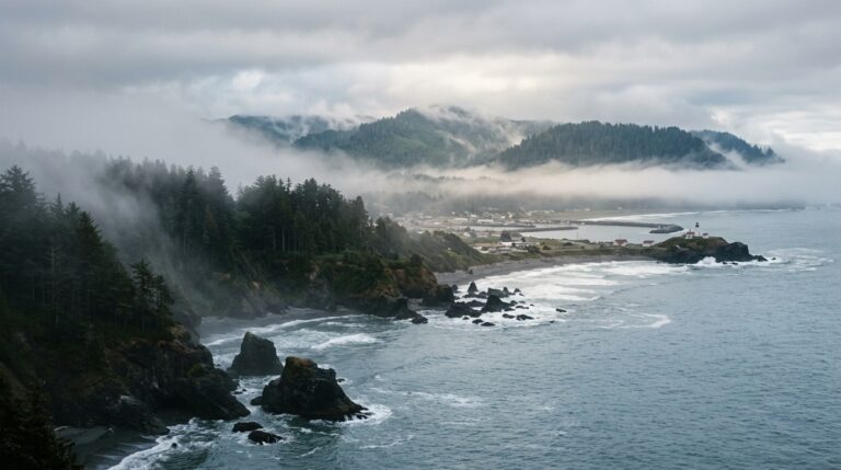
Summer is one of the busiest times to explore the redwood forests, rivers, and coastline around Del Norte County, but summer 2026 at Redwood National and State Parks is not a year to rely on an old itinerary or a saved map without checking conditions. Active road work, trail closures, restoration projects, and limited parking can change how long a visit takes. The good news is that the region still offers many rewarding alternatives when one trailhead or route is unavailable.
This guide explains the most important Redwood National and State Parks summer 2026 planning issues and shows how to build a flexible itinerary based in Crescent City. Conditions mentioned here reflect official information available in July 2026 and may change quickly. Before leaving your accommodation each morning, review the official Redwood National and State Parks current conditions page. You can also use our Del Norte County travel guide to connect the parks with beaches, communities, and other stops.
What Travelers Need to Know Before Visiting in Summer 2026
Redwood National and State Parks is not one compact park with a single entrance. It is a connected system of federal and state parklands stretching along the coast and inland forests. A location that appears close on a map may require a slower drive on a narrow road, a permit, or a change of plan because of maintenance. Visitors who understand that structure usually have a better experience than those who try to rush between famous names.
Current Trail Closures and Access Changes
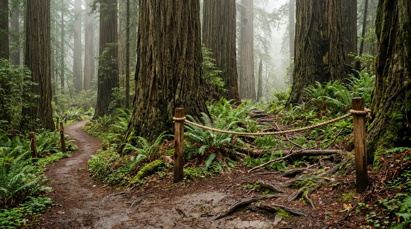
Several routes have changed access in 2026. The practical response is not to cancel a trip but to choose a primary plan and a nearby backup. Build each day around one region instead of crossing the entire park system repeatedly. Northern sites such as Jedediah Smith Redwoods work naturally with Crescent City and the Smith River, while southern sites pair better with Prairie Creek and the Klamath area. Redwood National and State Parks summer 2026.
Damnation Creek Trailhead
The Damnation Creek trailhead along U.S. 101 is closed until further notice because of highway construction and a safety project. That matters because the trail is frequently promoted as a dramatic redwood-to-coast hike. Do not park near the work zone or attempt to create an unofficial access point. A closed trailhead is not an invitation to improvise on a narrow highway.
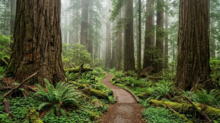
Instead, shift the day toward accessible alternatives. For a forest-focused experience near Crescent City, consider Stout Grove or another open route in Jedediah Smith Redwoods State Park. For a coastal viewpoint, use a legal signed overlook or beach access that appears on the official park map. Our redwoods and hiking hub will help you compare trail length, terrain, and location as more guides are published.
Miners Ridge and Dolason Prairie
Miners Ridge Trail is only partly open. Official park information indicates that a large downed tree blocks travel beyond the section just past the Clintonia Trail, preventing hikers from continuing through to Gold Bluffs Beach. The James Irvine Trail is identified as the preferred alternative for that connection, but visitors should still verify its status on the day of travel.
Dolason Prairie Trail is also partly open. The first portion remains accessible, while a bridge failure closes the route at Emerald Creek Bridge. That means a map showing the full trail can create a misleading expectation. Plan an out-and-back walk within the open section, turn around well before daylight or energy becomes an issue, and never cross a failed bridge or closure barrier.
Streelow Creek Trail has also been scheduled for a temporary July closure for restoration work. These projects protect visitors and damaged resources, so respecting them is part of responsible travel. A flexible visitor does not measure a successful redwood trip by the number of named trails completed. Time spent slowly observing one open grove can be more memorable than racing between several trailheads.
Road Delays Around Del Norte County
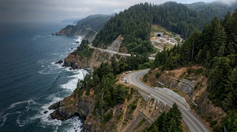
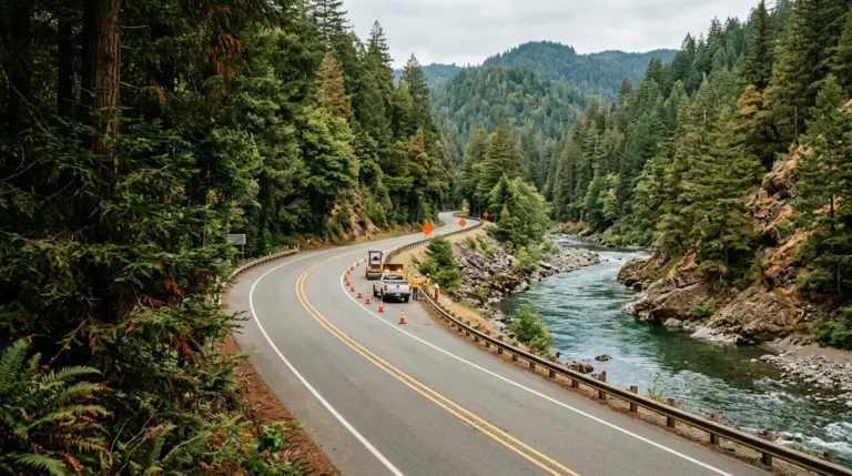
Road work is another major planning factor. Del Norte County depends heavily on U.S. 101, U.S. 199, and State Route 197, so a work zone can affect travel between Crescent City, Klamath, Smith River, Hiouchi, and park entrances. In summer 2026, official transportation notices have listed one-way traffic control, lane work, bridge construction, drainage projects, and possible delays on these corridors.
U.S. 101, State Route 197, and U.S. 199
Allow more time than a navigation app suggests. Several work zones have carried estimated delays in the five-to-fifteen-minute range, and encountering more than one zone can quickly move a lunch stop, tide-dependent visit, or check-in time. Road conditions may also change after weather, collisions, or emergency maintenance.
Download directions before entering low-service areas, keep the fuel tank comfortably above empty, and avoid scheduling an important reservation immediately after a long drive. If you are arriving from Oregon through U.S. 199, or traveling between Crescent City and Jedediah Smith, check both park advisories and current Caltrans information. Visitors with RVs, trailers, or large vehicles should pay close attention to route-specific restrictions rather than assuming every scenic road is suitable.
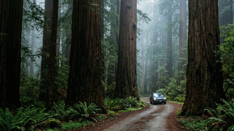
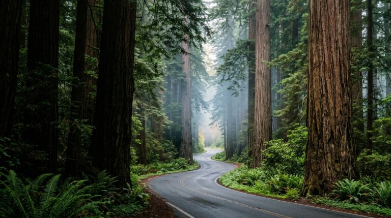
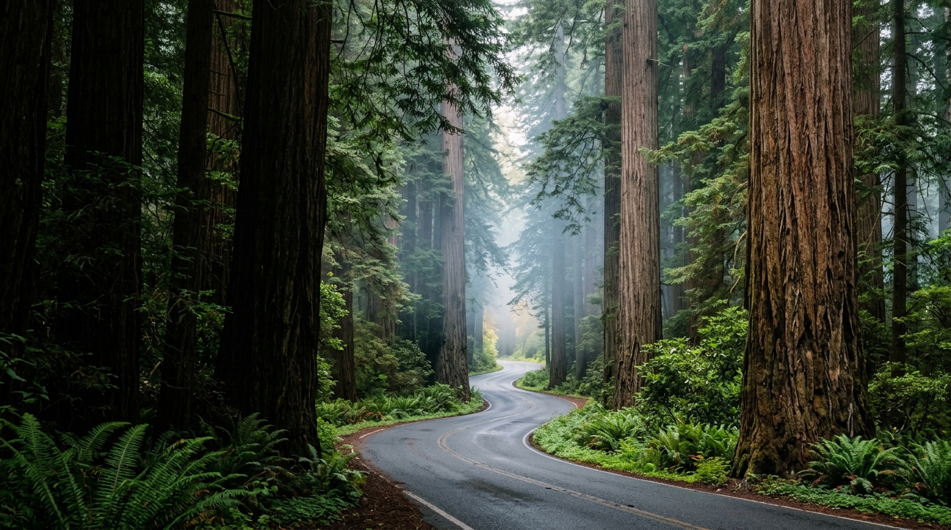
Howland Hill Road, for example, is a memorable old-growth drive but is narrow, winding, and mostly unpaved. Official guidance does not recommend it for trailers and large vehicles. Travelers using a standard passenger vehicle should still drive slowly, yield carefully, and avoid blocking pullouts or trailhead access. For more route ideas, visit our outdoor adventures page.
How to Build a Flexible Del Norte County Itinerary
A good summer itinerary has room for fog, road work, parking pressure, and changing trail conditions. Instead of listing ten attractions with fixed arrival times, divide your plan into geographic zones and choose one priority experience for each half-day. This reduces unnecessary driving and gives you the freedom to stay longer when the forest, river, or coast is especially rewarding.
A Two-Day Plan That Works Around Conditions
Crescent City is a practical base because it places visitors near Jedediah Smith Redwoods, coastal viewpoints, visitor information, restaurants, and essential services. Read our Crescent City guide before choosing accommodation, especially if an early start matters to you.
Day One and Day Two
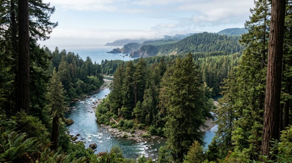
Day one: northern redwoods and river country. Begin with a current-condition check, then visit an open grove or trail in Jedediah Smith Redwoods State Park. Stout Grove is a strong option for travelers who want a shorter walk among large old-growth trees. Howland Hill Road can add a scenic drive for suitable vehicles, but it should not become a race. Stop only in designated spaces and leave enough room for other vehicles to pass.
After the forest, continue toward a legal Smith River access or return to Crescent City for a relaxed afternoon. The river may look calm, but cold water, changing current, and submerged hazards demand caution. Keep children close, avoid jumping from rocks, and follow posted restrictions. Finish with a coastal viewpoint or harbor walk if fog and timing cooperate.
Day two: coast and southern park options. Travel south only after reviewing U.S. 101 conditions. Choose one main area, such as the Klamath coast or an open Prairie Creek route, and keep a closer alternative ready. If a highway delay or full parking area makes the original plan inefficient, use a signed overlook, beach access, or community stop instead of circling repeatedly.
This is also the right day to include cultural and local context. A redwood trip is richer when it acknowledges that these landscapes are living homelands, working communities, and protected ecosystems rather than scenery alone. Explore our history and culture section and community guides to add depth to the itinerary.
Pack layers even in summer. Coastal fog and wind can make viewpoints feel much colder than inland trailheads, while a sunnier river corridor may warm quickly. Carry water, food, a basic first-aid kit, and a physical or downloaded map. Wear footwear that can handle roots, mud, and uneven surfaces. Cell service is unreliable in parts of the park system, so save critical information before setting out.
Finally, travel with a backup mindset. If a closure blocks the famous trail you expected to hike, choose a nearby open experience and enjoy it fully. Del Norte County is not defined by one trailhead. Its appeal comes from the relationship between ancient forests, wild rivers, coastal weather, small communities, and the long distances that keep the region feeling remote.
For ongoing changes, bookmark our seasonal updates category. We will use it for time-sensitive road, trail, weather, and access information while keeping evergreen destination guides focused on long-term planning.