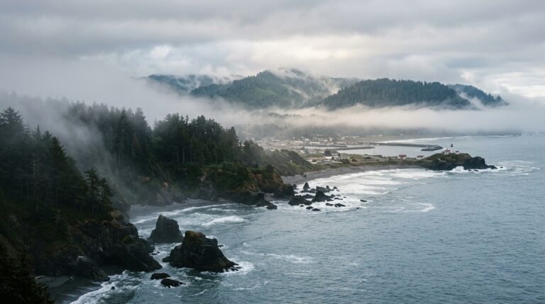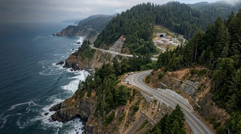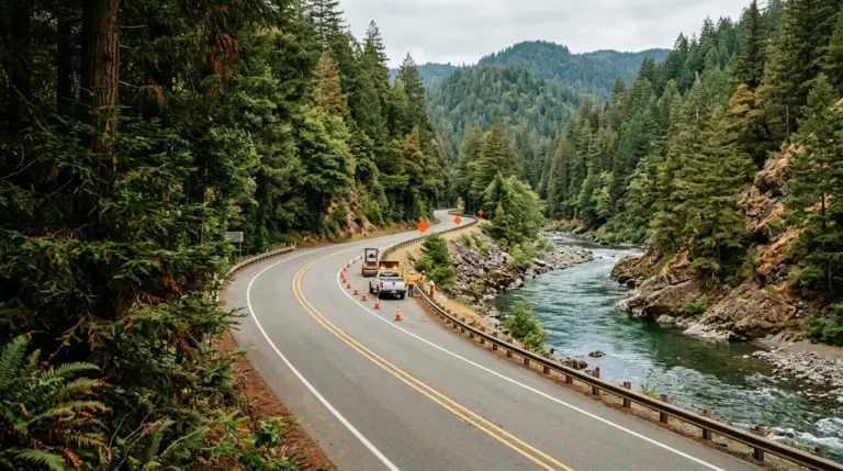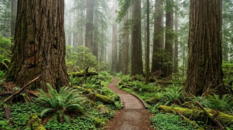
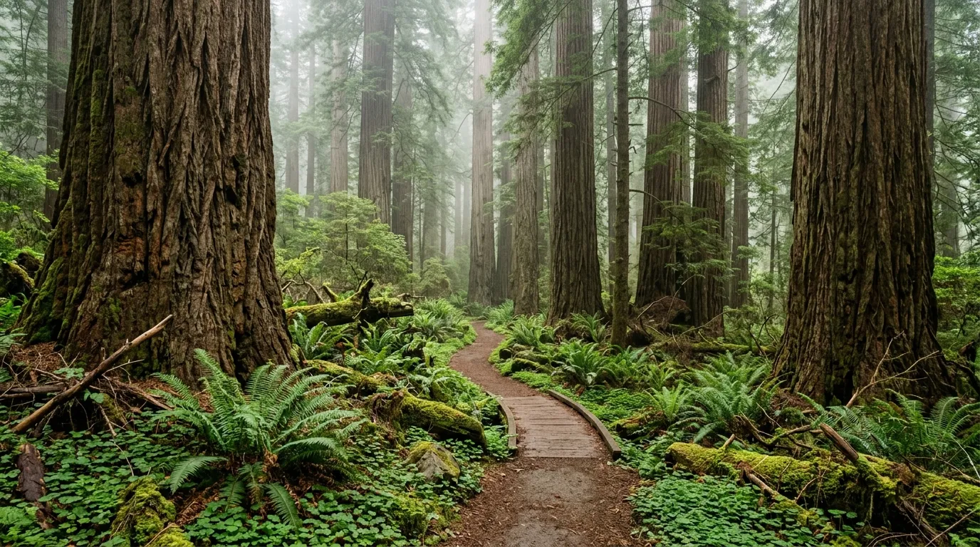
The Damnation Creek Trail is one of the best-known redwood-to-coast routes in Del Norte County, but its U.S. Highway 101 trailhead is currently closed from June 1, 2026, until further notice for a Caltrans safety project. Travelers should not stop beside the construction zone, walk through barriers, or try to create an unofficial access route. Fortunately, the closure does not remove the region’s biggest strengths: old-growth redwoods, river scenery, coastal overlooks, short family-friendly walks, and more demanding half-day hikes.
This guide presents seven practical alternatives near Crescent City. They are not identical substitutes for Damnation Creek, because few local trails combine a steep redwood descent with direct coastal access in the same way. Instead, each option replaces a specific part of the experience. Some deliver enormous trees, others provide ocean views, and several work well together in a flexible day. Check the official Redwood National and State Parks current conditions page before departure. For broader closure and road-delay planning, read our summer 2026 redwood parks guide.
Why the Damnation Creek Closure Changes Trip Planning
Damnation Creek sits along a narrow and busy section of U.S. 101 south of Crescent City. When its marked trailhead is closed, the safest response is to remove it completely from the day’s route. Parking farther along the highway and walking back is not a responsible workaround. Highway shoulders can be limited, construction traffic needs room, and closure barriers exist for both public and worker safety.
Choose the Experience You Actually Want
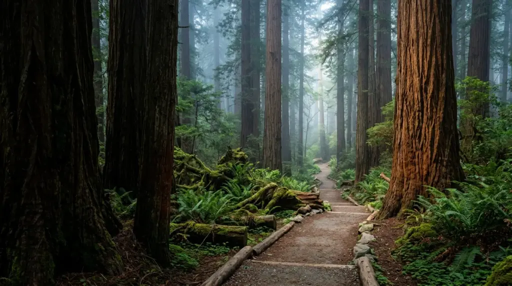
Before selecting an alternative, decide what attracted you to Damnation Creek. Was it the steep workout, the old-growth forest, the Pacific viewpoint, the chance to photograph fog among redwoods, or the idea of completing a memorable destination hike? A clear priority makes replacement planning much easier.
For Giant Redwoods: Stout Grove and Simpson-Reed
1. Stout Memorial Grove is the strongest short option for travelers who want an immersive old-growth experience. The roughly half-mile loop lies beside the Smith River in Jedediah Smith Redwoods State Park and passes through a grove of immense trees with a relatively open forest floor. The approach can take longer than the walk itself, particularly when using narrow Howland Hill Road, so allow enough time to enjoy the grove rather than treating it as a quick photo stop.
Stout Grove works especially well for families, first-time redwood visitors, and travelers who cannot commit to a long hike. The initial descent from the parking area requires attention, and parking is limited. RVs and trailers should not use Howland Hill Road to reach the trailhead. During the summer season, another approach may be available from the Jedediah Smith day-use and campground area by way of the seasonal footbridge.
2. Simpson-Reed Trail is another excellent short redwood walk and is easier to pair with U.S. 199 travel. Its approximately one-mile loop is mostly level and offers dense vegetation, large trees, and a quieter rainforest atmosphere. It is a practical choice when the group includes children, older travelers, or people who prefer a gentler trail. Because it is close to the highway, some traffic noise may be noticeable, but the forest remains visually rewarding.
Pair either grove with our Crescent City guide for a relaxed day that includes the harbor, a coastal viewpoint, or a meal in town. Browse the Redwoods and Hiking category for more trail comparisons.
For a Longer Forest Hike: Boy Scout Tree and Grove of Titans
3. Boy Scout Tree Trail is the best match for hikers who expected Damnation Creek to be a serious physical outing. The route is about 5.5 miles round trip and should be treated as a half-day experience. It travels deep into old-growth forest, crosses riparian terrain, and ends near Fern Falls. The hike includes uneven ground, elevation changes, and enough distance that visitors should carry water, food, layers, and a reliable map.
The trailhead is on Howland Hill Road, where parking is limited and large vehicles are not advised. Vehicle break-ins have been reported at this trailhead, so leave nothing visible inside the car. The final waterfall area is not a climbing location; wet rock, unstable surfaces, and falling hazards make off-trail scrambling a poor decision.
4. Grove of Titans Trail offers a shorter but highly distinctive old-growth experience. The approximately 1.5-mile loop includes non-level sections, metal stairs, and an elevated boardwalk built to protect the sensitive forest floor. That infrastructure allows visitors to see remarkable redwoods without creating damaging social trails around their bases.
Parking is very limited, so visit early or be ready to choose another trail instead of waiting in the road. Stay on the constructed route, do not climb roots or fallen logs for photographs, and avoid stepping around groups into protected vegetation. Responsible behavior matters because concentrated foot traffic can damage shallow roots and compact the soil that supports the grove.
Coastal and River Alternatives Near Crescent City
A redwood-only replacement may still feel incomplete if the original goal was to reach the Pacific. In that case, combine one forest walk with a separate coastal or river stop. This approach often creates a more balanced day than forcing a single trail to provide every landscape.
Build a Forest-and-Coast Combination Day
Morning usually works well for a redwood grove because the light is soft and parking may be easier. The coast can follow later, but fog, wind, tides, and ocean conditions should decide the exact timing. Keep the schedule loose and never assume that a beach is safe for swimming simply because the weather looks calm.
For Pacific Views: Crescent Beach Overlook and Enderts Beach
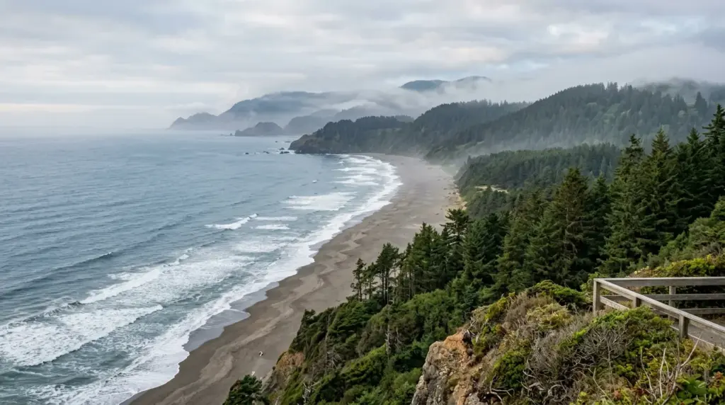
5. Crescent Beach Overlook is a low-effort alternative for travelers who mainly wanted a dramatic ocean view. The overlook is reached from Enderts Beach Road south of Crescent City and looks across a broad sweep of coastline, forested slopes, and Pacific water. It is useful for mixed-ability groups because the scenery does not require completing a long descent.
Use the overlook as a weather check before committing to a beach hike. Fog can create a moody landscape but may reduce visibility, while strong wind can make a short stop feel much colder than a redwood trail. Bring a layer even when Crescent City itself feels comfortable.
6. Enderts Beach adds a more active coastal experience. The trail descends from the parking area toward a rugged beach with tidepool opportunities at low tide. The route is short, but the descent and return climb make it more demanding than the mileage suggests. Rockfalls can affect the cliffside section, so check current conditions before walking down.
This is not a swimming beach. Cold water, strong currents, and sneaker waves can be dangerous, and visitors should never turn their backs on the ocean. Check tide timing before entering tidepool areas, keep children close, and leave marine life attached to the rocks. Dogs are not allowed on the trail.
For River Scenery: Hiouchi Trail and the Smith River
7. Hiouchi Trail is a strong choice for travelers who want both redwoods and water without descending to the ocean. The moderate trail follows the Smith River corridor through riparian forest and old-growth redwoods. Depending on the chosen access point and seasonal bridge status, the hike can be adjusted to fit the group’s time and energy.
The Smith River’s clear blue-green water is visually inviting, but river safety still matters. Cold temperatures, changing current, slippery rocks, and submerged hazards can affect even calm-looking areas. Use designated access, follow posted guidance, and do not assume that a popular summer spot is risk-free.
How to Choose the Best Alternative
A combination is Simpson-Reed in the morning, a picnic near the Smith River, and Crescent Beach Overlook in the afternoon. Stronger hikers can replace Simpson-Reed with Boy Scout Tree Trail and save the coast for later. Our Del Norte County travel guide can organize these stops by location, while the Seasonal Updates category covers changing access information.
Whichever alternative you choose, avoid turning the closure into a checklist race. Del Norte County rewards slower travel. Forest trails may have limited parking, roads can be narrow, and coastal weather can change quickly. One well-planned grove and one safe viewpoint can create a better day than several rushed stops.
Download a park map before leaving reliable service, carry water and layers, and tell someone where you plan to hike. Keep food secured, leave no valuables visible in the vehicle, and remain on developed trails. These habits protect visitors, wildlife, and fragile redwood habitat.
The Damnation Creek trailhead will eventually reopen when the safety project allows it, but the current closure is also a reminder that the redwood coast is much larger than one famous route. Stout Grove, Simpson-Reed, Boy Scout Tree Trail, Grove of Titans, Crescent Beach Overlook, Enderts Beach, and Hiouchi Trail each reveal a different part of the county’s character. Choose the experience that fits your group, verify conditions, and leave enough time to enjoy it properly.