Bald Hills prescribed burns 2026 are now one of the most important seasonal updates for travelers planning to explore Redwood National and State Parks this fall. The National Park Service announced prescribed fire operations for six areas of the Bald Hills beginning in late September, depending on weather, fuel moisture, staffing, and other safe-burning conditions. Visitors can still enjoy the region, but smoke, fire crews, equipment, and temporary traffic control may affect a trip along Bald Hills Road.
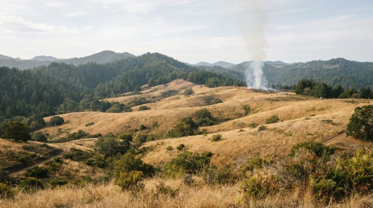
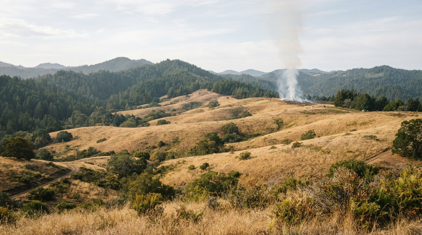
The Bald Hills are different from the dense redwood groves many visitors picture in Del Norte County. Open prairies, oak woodlands, ridgelines, and wide views make this part of Redwood National and State Parks distinctive. Here, prescribed fire is used as a planned land-management tool rather than an emergency response to an uncontrolled wildfire.
Because conditions can change quickly, travelers should treat this guide as trip-planning context rather than a live closure notice. Before driving into the area, check the official Redwood National and State Parks current conditions page for road, smoke, fire, and access updates.
Why Bald Hills Prescribed Burns 2026 Are Happening
Redwood National and State Parks announced fall 2026 prescribed burns for six Bald Hills areas: DA Second Growth, Williams Ridge, Schoolhouse, Wooden Gate, Lower Dolason, and South Boundary. The work is expected to begin when conditions allow. That wording is important. Prescribed fire does not follow a simple tourism calendar because crews need a safe combination of weather, wind, fuel moisture, air quality, available personnel, and operational resources.
The National Park Service says the burns are designed to reduce hazardous fuels, lower wildfire risk, improve forest health, and support wildlife habitat. In the Bald Hills, fire also helps maintain prairie and oak woodland landscapes that can gradually change when Douglas fir and other conifers move into open areas. Carefully managed, low-intensity fire can help preserve the ecological pattern that makes the Bald Hills distinctive.
Six Planned Burn Areas and What Visitors May Notice
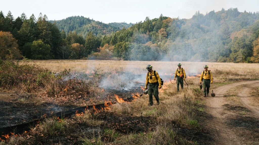
The six announced burn areas are spread across the broader Bald Hills landscape. Effects can vary by day: one visitor may see distant smoke, while another may encounter active traffic control, equipment, or reduced visibility.
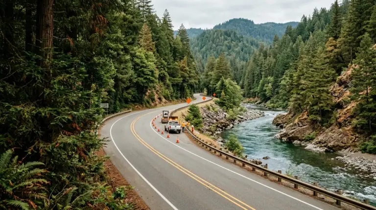
The National Park Service has advised travelers to slow down, follow directions from fire crews, and use caution near active operations. Even when Bald Hills Road remains open, drivers should not assume normal travel speeds or clear long-distance views. Smoke can move with the wind, and crews may need space for vehicles, tools, or short-term traffic management.
Timing, Smoke, Visibility, and Road Conditions
Fall is already a season when North Coast travel requires flexibility. Shorter daylight, rain, fog, wet road surfaces, and changing temperatures can affect remote drives. Prescribed fire adds another condition to consider. Smoke may temporarily reduce visibility, especially near an active burn area, and road users should expect slower travel if crews are working nearby.
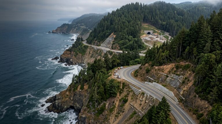
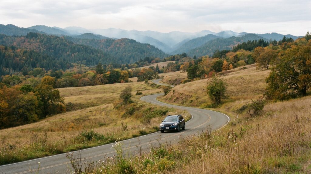
Bald Hills Road is a scenic route, but it should not be treated like a high-speed highway. The park’s current-conditions information has also warned visitors to drive slowly and watch for road damage. Build extra time into the day, keep headlights available for reduced visibility, and avoid stopping in the roadway for photographs. If smoke becomes heavy enough to make driving uncomfortable, turn around at a safe location rather than pushing forward only to complete an itinerary.
Why Planned Fire Can Benefit Prairies and Oak Woodlands
Excluding fire from a fire-adapted landscape can create problems. When prairie and oak woodland receive less frequent fire, young conifers can expand into open areas, reducing habitat and changing plant communities.
Low-intensity prescribed burns can remove accumulated vegetation and help managers maintain the open character of the Bald Hills. The goal is not to burn everything. Crews work within specific plans, weather limits, and burn units. The result may look temporarily blackened or smoky, but the longer-term purpose is to support a healthier and more resilient landscape.
The Cultural History Behind Fire in the Bald Hills
The 2026 announcement also places prescribed burning in a deeper cultural context. The National Park Service notes that Yurok, Tolowa, and Chilula people used intentional fire for thousands of years to maintain prairies and oak woodlands and to support important plant and wildlife resources. That history matters because fire in this landscape is not simply a modern firefighting technique.
Visitors should avoid describing every intentionally burned area as damage or assuming that a blackened landscape means a wildfire occurred. In many North Coast ecosystems, fire can be part of deliberate stewardship. Understanding that relationship makes a trip more meaningful and helps travelers see the Bald Hills as a managed cultural landscape as well as a scenic one.
Indigenous Stewardship Is Part of the Story
Travel content about prescribed fire should acknowledge that Indigenous communities developed and maintained sophisticated fire practices long before modern park agencies existed. Cultural burning supported food systems, plant materials, wildlife habitat, travel corridors, and landscape health. Today, prescribed fire programs operate within modern safety and land-management systems, but the long history of intentional fire remains essential context.
Wildfire and prescribed fire are not the same event. A wildfire may burn under dangerous, uncontrolled conditions, while a prescribed burn is planned for a management objective and carried out only when required conditions are met.
How to Plan a Fall 2026 Visit Around Prescribed Fire
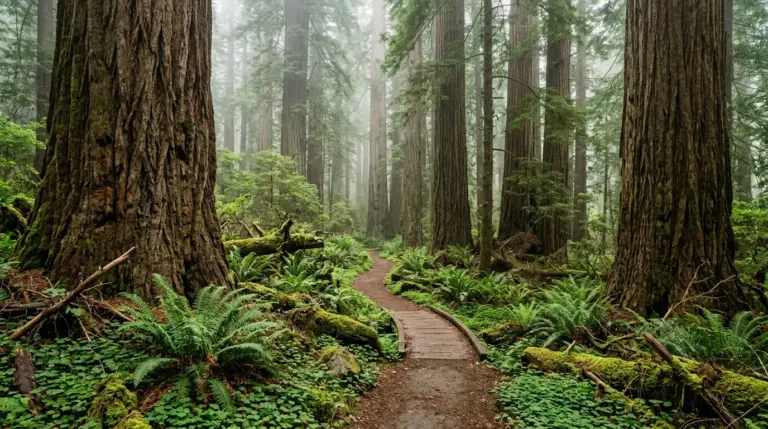
The easiest way to enjoy Del Norte County during an active management season is to avoid building a one-location, one-route itinerary. Instead, prepare several nearby options. If Bald Hills Road is smoky or temporarily affected by fire operations, you can shift your day toward redwood groves, the Smith River corridor, Crescent City, or another open park destination.
Start with our Redwood National and State Parks 2026 planning guide for a broader look at access and route flexibility. If your itinerary includes the northern redwood groves, review our Howland Hill Road and Stout Grove guide before driving narrow forest roads. Travelers staying near the coast can also use the Crescent City fog-season guide to plan around changing visibility.
A Flexible Redwoods, Coast, and Bald Hills Strategy
For many visitors, the best approach is to choose one primary destination and two backup options each morning. If the Bald Hills are clear and park conditions show no major access issue, make that drive the focus of the day. Leave enough time to travel slowly, stop only in legal pullouts, and return before darkness if you are unfamiliar with the route.
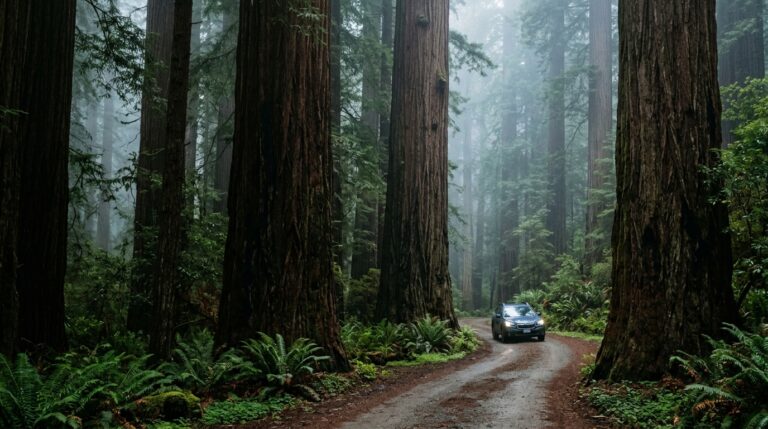
If active prescribed fire is producing smoke or traffic control, switch to a forest-focused day closer to Crescent City. Stout Grove, Simpson-Reed Trail, and other open areas in Jedediah Smith Redwoods can provide a very different experience without forcing you through a smoky zone. However, always verify individual trail and road conditions before departure because closures can occur independently of the prescribed burns.
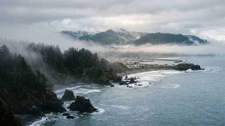
A coastal backup can also work well. Crescent City, harbor viewpoints, and legal coastal overlooks may offer clearer conditions, although wind can move smoke. Check the latest conditions before committing to a long drive.
Check Conditions Before You Leave, Then Stay Flexible
A practical fall routine takes only a few minutes. First, check Redwood National and State Parks alerts and current conditions. Next, review the weather forecast for the part of the county you plan to visit. Then confirm road conditions and make sure your vehicle has enough fuel for a remote drive. Download directions in advance because mobile service can be unreliable in parts of the parks.
Carry water, an extra layer, basic first-aid supplies, and a charged phone. If you are sensitive to smoke, monitor air quality before spending extended time near an active burn area. Do not approach crews, cross temporary barriers, park where equipment needs access, or enter a closed burn unit. Prescribed fire is carefully managed, but it remains an active operation.
The Bald Hills prescribed burns 2026 should not automatically cancel a fall trip to Del Norte County. Instead, they are a reminder that Redwood National and State Parks are living landscapes where weather, restoration, fire, road work, and seasonal conditions can change the best plan for the day.
Travelers who check official information, allow extra driving time, and keep alternative destinations ready can still build an excellent redwoods-and-coast itinerary. More importantly, understanding why prescribed fire is used adds context to what visitors see from Bald Hills Road. The smoke, crews, and recently burned ground are part of a broader effort to reduce hazardous fuels, support habitat, maintain prairie and oak woodland, and continue a long relationship between people and fire in California’s far northwestern redwood country.