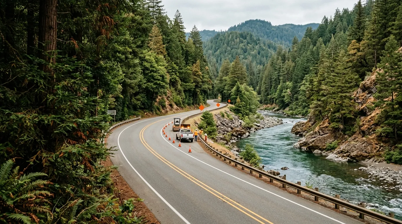
Travelers heading to Jedediah Smith Redwoods State Park in 2026 need to understand a major highway project beginning northeast of Crescent City. Caltrans is starting work at seven locations along U.S. 199 and State Route 197, with roadway widening, bridge work, rock excavation, slope stabilization, drainage improvements, and changes to several tight curves. The project is expected to continue through the end of U.S. 199 construction 2026, so construction-aware planning will matter for more than one summer.
Not every visitor will encounter the same impact. A Crescent City guest driving only to Hiouchi or Stout Grove may avoid the main U.S. 199 construction 2026 work areas, while travelers arriving from Grants Pass or Cave Junction are more likely to pass through the Patrick Creek and Washington Curve zones. Before departure, check the official Caltrans 197/199 project page and our summer 2026 redwood parks guide.
What the 197/199 Highway Project Means for Travelers
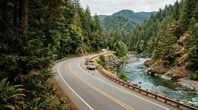
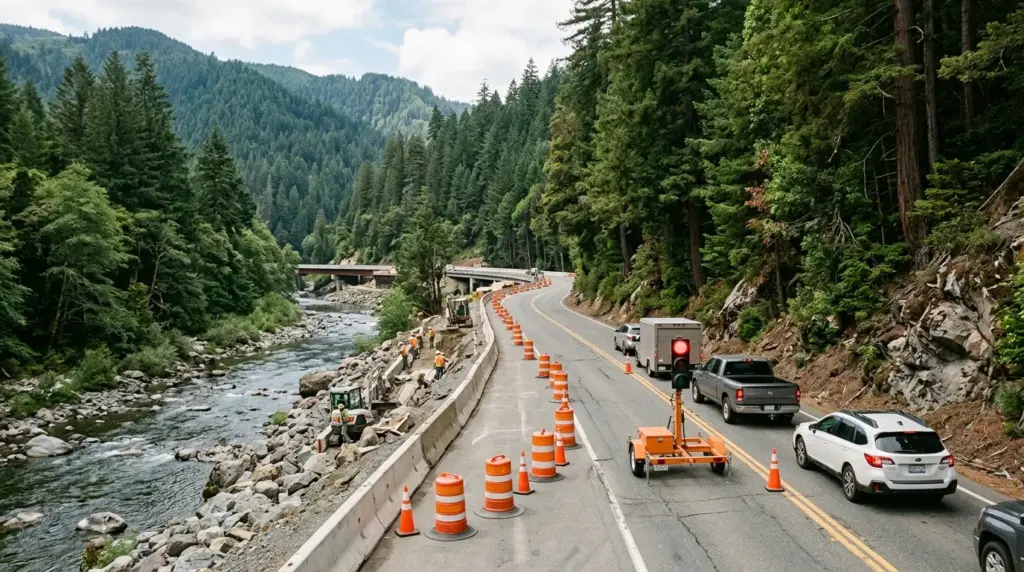
The project targets narrow curves and roadway pinch points so industry-standard trucks can use the corridor more safely. Visitors will see selected lane and shoulder widening, bridge and drainage work, one-way traffic control, and occasional full closures during blasting or rock excavation.
Caltrans describes seven targeted locations rather than a complete rebuilding of both highways: two near Ruby Van Deventer County Park on Route 197 and five near Patrick Creek and Washington Curve on U.S. 199. A delay at one narrow location can still affect a full travel day because practical alternatives are limited.
Where the Work Is Happening and What to Expect
Route 197 is a connector between U.S. 101 and U.S. 199 along the Smith River corridor. U.S. 199 construction 2026 links Crescent City and the redwood country with the Oregon border and Grants Pass. Knowing where each work zone sits helps you decide whether to leave earlier or spend the first night in Crescent City.
Route 197 Work Near Ruby Van Deventer County Park
The two Route 197 work areas are approximately 3.2 to 4.5 miles from the highway’s junction with U.S. 199. Planned work includes improving curve shape and banking, widening shoulders and roadway sections, extending or replacing drainage features, building retaining structures, and reconnecting several private driveways.
This section matters most to travelers using Route 197 as a scenic or alternate connection. It is not a guaranteed bypass when U.S. 199 closes. Follow official traffic control rather than relying only on a navigation app that may miss a temporary closure or flagging queue.
In the mid-July 2026 Caltrans road bulletin, drainage work near Ginny Lane on Route 197 carried one-way traffic control and an expected delay of about ten minutes. Weekly details will change, but that example shows why travelers should build a buffer even when no full closure is scheduled.
U.S. 199 Work Near Patrick Creek and Washington Curve
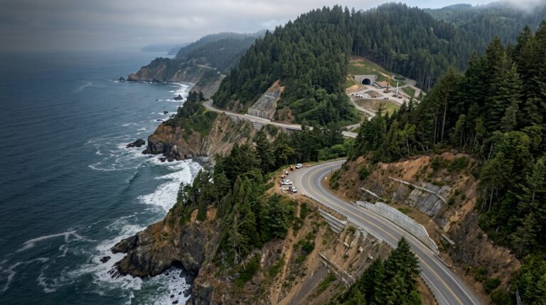
The five U.S. 199 project locations are approximately 20.5 to 26.5 miles from the U.S. 101 junction. They include sections at Patrick Creek Narrows, a bridge site on the Middle Fork Smith River, another narrow rock pinch point, and Washington Curve. Planned work includes cutting back rock slopes, widening lanes and shoulders, replacing a bridge, changing an S-curve, adding retaining walls, improving drainage, and increasing sight distance.
These locations are east of the main Jedediah Smith visitor area around Hiouchi. That distinction is important. A Crescent City visitor driving to the park may not pass through the primary project zone, while someone arriving from Oregon on U.S. 199 likely will. The mid-July road bulletin also listed one-way traffic control and delays of about ten minutes near Middle Fork Smith River bridge work, along with minor slowdowns closer to the U.S. 101 junction.
A ten-minute estimate can grow if queues build or work shifts. Fuel up before the remote stretch, download directions, and keep food, water, and medication accessible.
How Full Closures Could Affect Park Access
Caltrans estimates that four-hour full closures may begin in late July or early August 2026. When scheduled, they are generally expected from 10 a.m. to 2 p.m., Tuesday through Thursday. They are not expected every week, and Caltrans plans to provide advance notice. Full closures may continue when needed through 2028, while one-way traffic control can remain part of the project through 2029.
Plan Around the 10 a.m. to 2 p.m. Closure Window
A four-hour closure changes the day. Through-travelers from Oregon should clear the announced work zone well before closure or wait until after reopening. Arriving just before 10 a.m. leaves no margin for a queue, fuel stop, or incident.
Visitors based in Crescent City can use a closure day for places west of the main work zone. Options include Stout Grove, the Hiouchi area, Crescent City coastal stops, or another open trail that does not require continuing east through Patrick Creek. Review our alternative redwood and coastal hikes for additional ideas and use the Seasonal Updates category for time-sensitive changes.
Emergency vehicles may be accommodated when conditions allow, but blasting and rock excavation can temporarily prevent all traffic from passing until the work zone is safe. Travelers should never follow an emergency vehicle into a closure or pressure flaggers to make an exception. Their instructions are the controlling information on the road.
How to Build a Construction-Aware Jedediah Smith Itinerary
Separate arrival travel from park exploration. A long construction drive followed by a narrow scenic road and popular trailhead creates a fragile schedule. Build around geographic zones and leave room for parking, fog, and delays.
Choose the Right Route for Your Arrival Direction
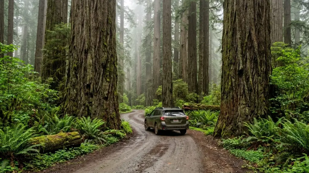
Travelers coming from the south on U.S. 101 can usually reach Crescent City before deciding how much of the U.S. 199 corridor to use. Travelers arriving from Oregon on U.S. 199 need to make the closure schedule part of their primary route plan. Those approaching from the north on U.S. 101 should also check current bridge and work-zone notices in the Smith River area.
From Crescent City, Oregon, and the Northern Coast
From Crescent City: Use U.S. 199 toward Hiouchi for the Jedediah Smith visitor area, but verify current traffic conditions before departure. If the objective is Stout Grove or Boy Scout Tree Trail, confirm Howland Hill Road status separately. The road is narrow, winding, mostly unpaved, and unsuitable for motorhomes, RVs, trailers, and large trucks. Allow roughly an hour for the scenic drive rather than treating it as a shortcut.
From Grants Pass or Cave Junction: Check for announced full closures before leaving reliable service. On a closure day, either pass through well before the scheduled start or plan a meal, fuel stop, or safe wait in a community where services are available. Do not park near the work zone to wait. If your lodging is in Crescent City, consider making arrival day a simple travel day and visiting the redwoods the next morning.
From the northern coast: U.S. 101 may be the more direct approach, but separate projects can affect that route. The Dr. Fine Bridge project near Smith River has used reduced speeds and temporary traffic arrangements, and weekly bulletins may list additional one-way control. Check conditions instead of assuming the coastal approach is delay-free.
For a practical two-day visit, spend the first full morning in Jedediah Smith Redwoods. Start early, choose one primary trail, and keep a shorter backup nearby. Stout Grove works well for a shorter old-growth walk, while Boy Scout Tree Trail requires more time and preparation. Continue to a legal Smith River access or return to Crescent City rather than stacking several distant stops into the same afternoon.
Use the second day for the coast, Crescent City, or another redwood area south of town. This arrangement prevents an eastern highway closure from disrupting every part of the trip. Our Del Norte County travel guide, Crescent City guide, and Redwoods and Hiking category can help you group nearby destinations.
Before each drive, check the weekly Caltrans District 1 bulletin and real-time highway information. Navigation apps help with direction, but they are not the final authority on blasting closures, flagger control, vehicle limits, or park-road status.
The 197/199 project will require patience, but it does not make Jedediah Smith Redwoods inaccessible. The key is knowing which part of the corridor affects your route, avoiding rigid arrival times, and separating construction travel from the experiences you came to enjoy. With an early check and a flexible plan, the Smith River and old-growth forests remain realistic highlights of a 2026 Del Norte County trip.